| layout | title | postID | category | banner | date | author | excerpt | published | tags | permalink | lang |
|---|---|---|---|---|---|---|---|---|---|---|---|
post |
Interviews from International Women’s Day 2022 |
2022-03-30-IWD-Interviews |
blog |
2022-03-30 |
Jana Bauerová and Melanie Chabot |
Read about the inspirations, passions and wisdom behind three all star OSM mappers |
true |
IWD |
/blog/:year/:month/:day/:title/ |
en |
Read about the inspirations, passions and wisdom behind three all star OSM mappers
Missing Maps is sustained by a wonderful community of volunteer mappers. These mappers have unique and powerful stories to share about how and why they map that inspire others to follow suit. To celebrate International Women's Day, 2022, we interviewed three amazing women to highlight their accomplishments in Missing Maps and OpenStreetMap.
How did you join the Missing Maps local community?
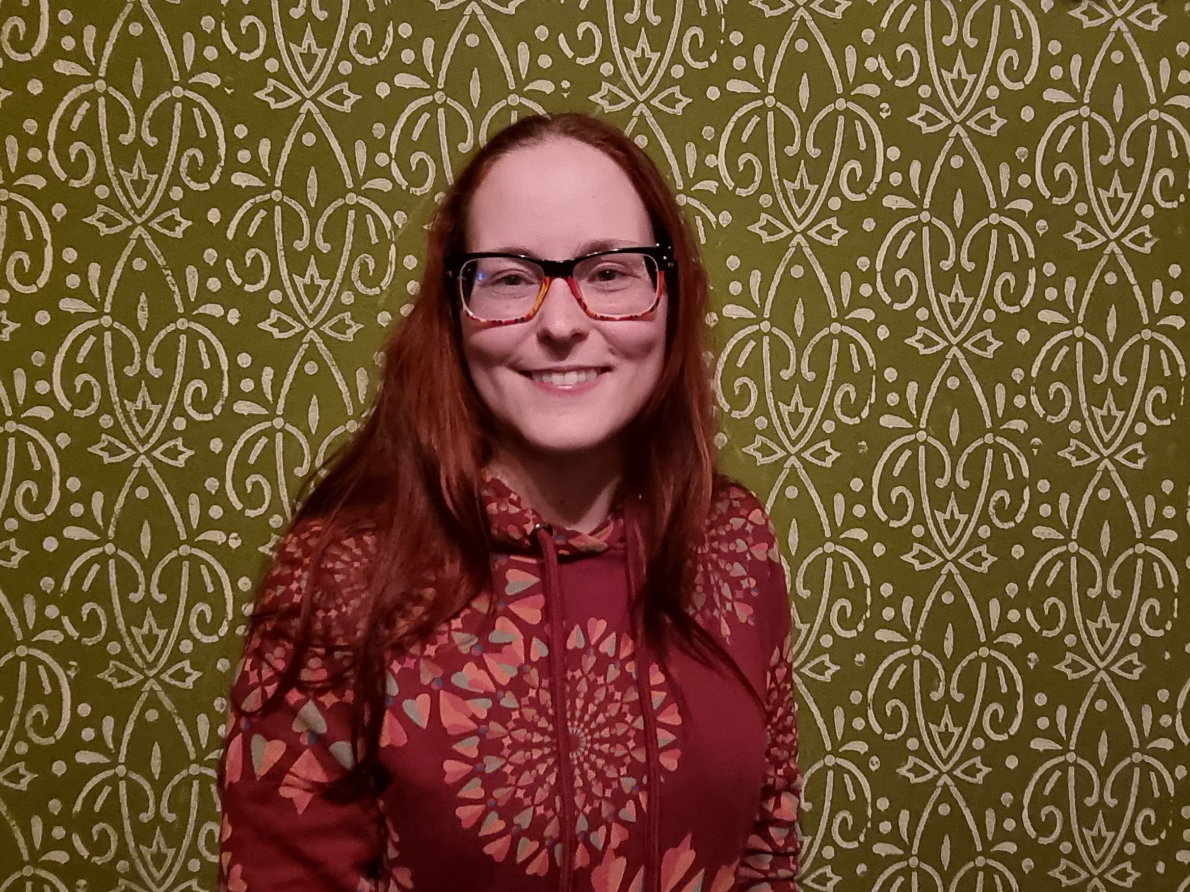
It’s easy: I started mapping thanks to my boyfriend Tonda, who started organizing mapathons at the Palacký University Olomouc. We were both students at the time. He offered to teach me how to map. I must say, at first, I didn't understand why he liked it so much. But I started to enjoy it, mainly thanks to JOSM.
You map hundreds of buildings, much more than anyone else on mapathons (you put all the guys in your pocket). What is your secret?
I really don't know why and how I'm so fast. But probably it's thanks to the tools in JOSM - I prefer to use Mapathoner, Bulilding tools and for large areas also the Markseen plugin. And keyboard shortcuts, they speed up your work so much! I remember lots of them. So I click the corners of the buildings and then press Ctrl+Shift+E and voilà – the entire street pops up, for example. When I map, I immerse into it so much that I am oblivious to anyone or anything else after a while. I just turn off my head and click away.
You teach beginners to use the JOSM editor at the Olomouc mapathons, which is unique. Why? How did it come about?
The main reason was practicality. In the the Faculty of Science building, where mapathons always take place, there used to be problems with the wifi. It was still having issues. This was a problem when mapping in the ID editor and you could lose a lot of work. JOSM solved this. We also found out that JOSM is "foolproof" even for a beginners – e.g. if you use the Buildings plugin, you never create an unsquared building. Although it may seem outdated graphically, it is very user-friendly. That's why we chose it, and Tonda always helps train people who come to a mapathon for the first time – and he is great at it.
Who are some women you met thanks to Missing Maps?
Missing Maps has introduced me to SO many awesome women and other femme-types! Off the top of my head: Janet Chapman and her tireless work for Crowd2Map Tanzania, and through her Rhobi Samwelly, a brilliant anti-FGM activist. Jorieke Vyncke, OUR BELOVED LEADER in London (we missed her while she was away!). Jess Cahill and her mapping for accessibility, which is so exciting! Ramya Ragupathy (she's more properly HOT, but I'm claiming her!) is great and I want to be like her if I ever successfully grow up. Katherine Roberts-Hill is a force of nature, and her work at the British Red Cross is...argh, blargh, I'm going to have to use the word 'inspiring'?! Sorry! So many other Missing Maps friends have enriched my life - Nicole Siggins, I'm so delighted that we've trapped you into London meet-ups all the way from Germany. Sharon and Gurdie, I miss you terribly and hope to see you in person again someday soon!
I'm only scratching the surface here, and of course I'm not including the women I fangirlishly follow on social media, but please trust that the list goes on.
What has your favourite mapping project been in the last year? (or, if nothing comes to mind, favourite mapping event?)
I've really enjoyed MapRoulette - it keeps things fresh!
How does mapping square with your professional life?
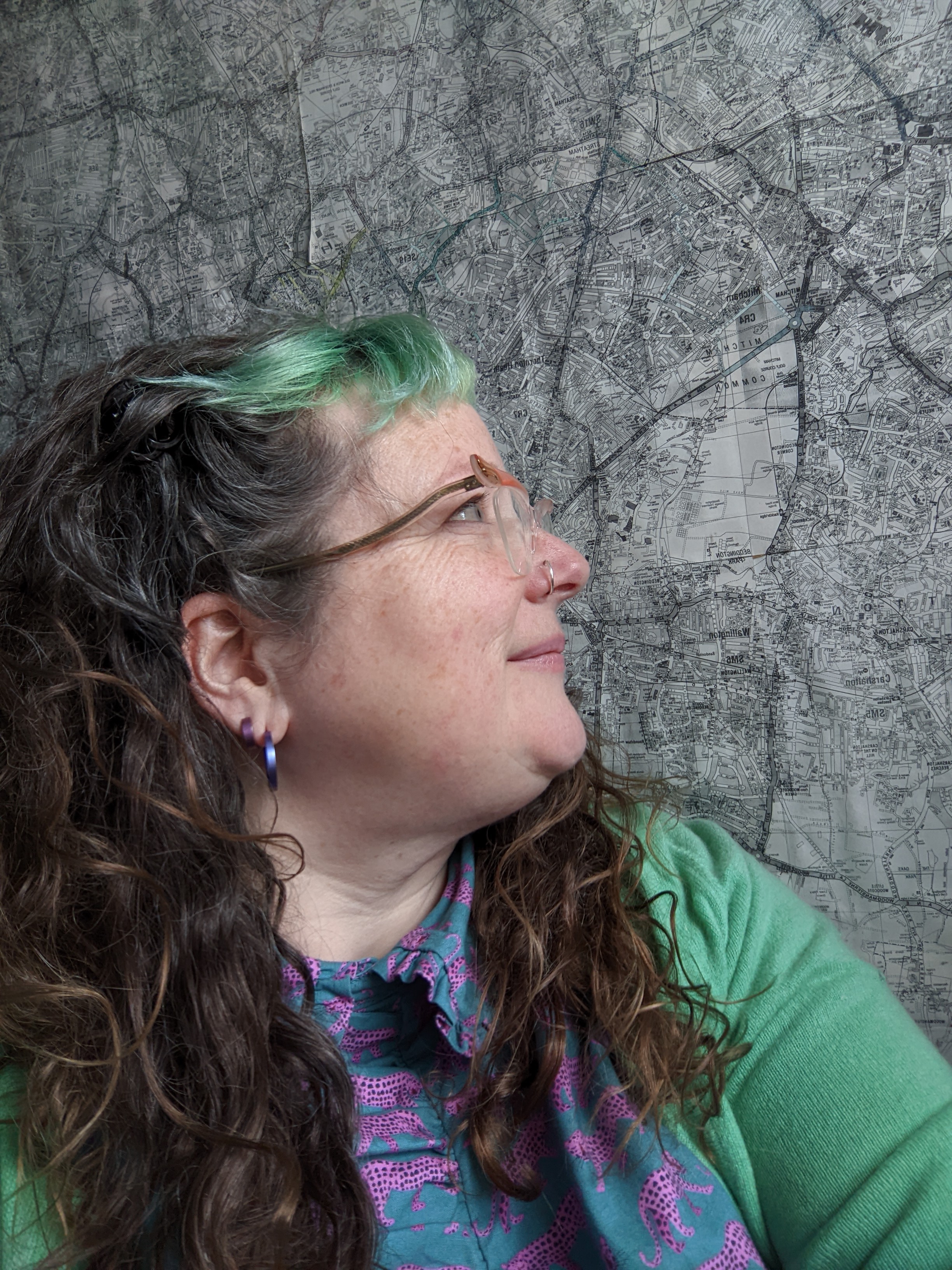
I originally entered the OSM orbit because I used OSM data in my work. Professionally, I'm an academic researcher who creates simulations of people, usually people moving around an environment in the context of commuting, infrastructure, or evacuation. You can find more about my work here or on my much-neglected blog here.
Having open spatial data has fundamentally changed the way we do this kind of research. In the past, we've had to restrict the scope of what we study based on where data already exists; absent a huge and enduring pile of funding, it's challenging for an academic to work with areas that are in flux. Open data changes that equation.
More important than the data that now exists, however, has been the commitment of people to this community. That engagement has made it possible for me to do work that I could never have dreamed of doing before. I have friends and colleagues all over the world now, and I know and trust them because I've seen their work over the long term. Perhaps more importantly, they can come to know and trust me. Missing Maps makes me feel that I can meaningfully support the work of community experts as they reshape their localities. I have a better sense of how I can support people rather than parachuting in and blundering around. As a researcher, I can approach questions in a more appropriate and respectful fashion, for which I am very grateful.
On a less heartfelt note, regular mapping reminds me of how deeply weird spatial data can be and how quickly it can go 'stale'. It also reinforces my undying suspicion of hardware. These are good regular reminders for any researcher!
Which mapping events do you go to this year?
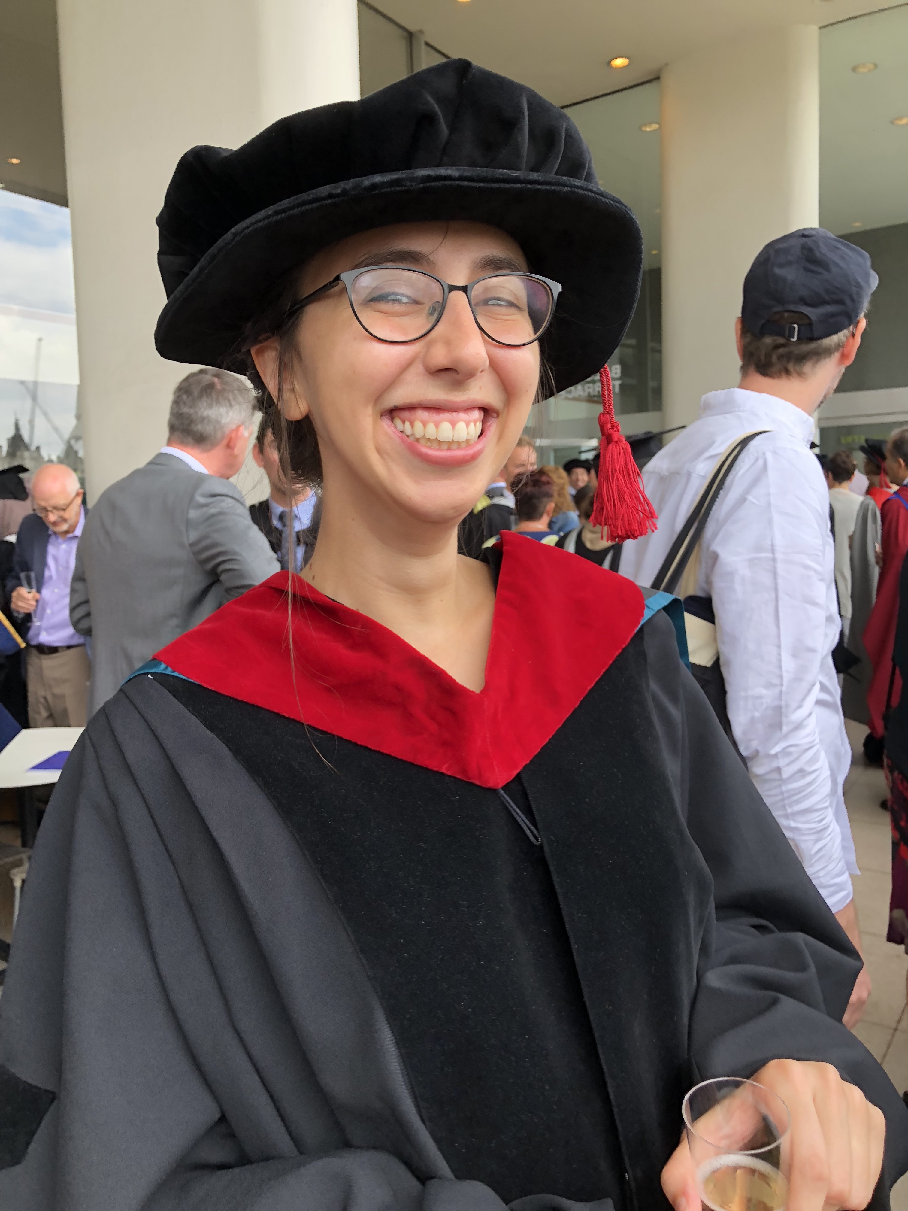
I’ve been going to the London online mapathons since the beginning of the pandemic. I used to go regularly to the in person ones a few years ago but then became chronically ill and couldn’t go any more. It’s been really nice to be able to be part of it again and see old and new faces – it’s a fun community. A lot of things have become more open to me as they’ve gone online during the pandemic. It’ll be interesting to see how that plays out.
What mapping project or campaign or initiative holds your heart?
I’ve recently been thinking a lot about making maps and mapping accessible. I work as an accessibility consultant. We technically assess websites and apps to see whether disabled people can use them – for instance if you’re blind and use a screen reader, can you buy a pair of shoes online or make a bank transfer – the sort of things society takes for granted now. Along with the opportunity for making life more accessible that the internet brings (like me being able to come to mapathons again), there’s the danger of excluding some people if we don’t make sure they can come on this journey too. There hasn’t been much crossover between that and my leisure interest in mapping, so I’ve been picking away at that. I wrote a blog post about it recently.
Thinking of women in GIS and humanitarian mapping, what is the first that comes to mind?
Ooh many things, many women. Perhaps the Pran Men’m clinic in Haiti. It’s an MSF clinic in Haiti which supports survivors of sexual and gender-based violence. Mapswipe played a role when they were setting up the clinic and needed more geographical information than they had about where people lived. I found it very moving to hear about it.


